Is Lake Leonard the Philippines’ Hidden Gem?
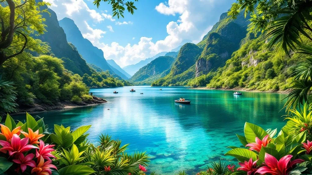
Lake Leonard fills a volcanic caldera in Barangay New Leyte, Maco, in Davao de Oro province, about 60 kilometers northeast of Davao City. The lake sits inside the caldera of Mount Leonard Kniazeff, a stratovolcano that Philippine authorities still classify as active. Getting there takes roughly a two hour drive from Davao City, then a short habal-habal ride to the water’s edge.
Visitors come for kayaking, bamboo rafting, and tilapia fishing on a lake once feared for the crocodiles said to live in it. The Mansaka community named it Crocodile Lake generations before mining renamed both the land and the water. This guide covers what the lake actually offers today, what has changed recently, and how to plan a visit around the terrain and the season.
Lake Leonard at a Glance
| Fact | Details |
|---|---|
| Location | Barangay New Leyte, Maco, Davao de Oro |
| Distance from Davao City | About 60 km, roughly a two hour drive |
| Formation | Caldera lake inside the active Leonard Range volcano |
| Surface area | About 6 hectares, crescent shaped |
| Elevation | About 800 meters above sea level |
| Entrance fee | Around PHP 30 per person, confirm before visiting |
| Best time to visit | Dry season, November through May |
| Main activities | Bamboo rafting, kayaking, tilapia fishing, camping |
How the Lake Formed
Lake Leonard occupies the caldera of Mount Leonard Kniazeff, an andesitic to dacitic stratovolcano in the Leonard Range, part of the East Mindanao volcanic arc. Volcanic activity here began roughly 1.1 million years ago. A series of lava domes built up starting around 290,000 years ago, and one of the largest domes eventually collapsed to form the caldera the lake now fills, according to the Province of Davao de Oro.
The mountain rises 1,190 meters above sea level and is one of the 22 volcanoes the Philippine Institute of Volcanology and Seismology lists as active. Its last confirmed eruption dates to roughly 1,800 years ago, based on radiocarbon dating of charred wood found in the caldera. The lake itself is a smaller, arcuate body of water about 1.8 kilometers long, sitting near 800 meters above sea level, per Wikipedia’s entry on the lake.
Key point
The lake sits inside the caldera of an active Philippine volcano, one of 22 that PHIVOLCS tracks. It is dormant water in that crater, not a live eruption hazard, though the surrounding slopes carry real landslide risk in heavy rain.
Solfataras, vents that release sulfuric gas, still mark the caldera’s southwest rim. Hot springs cluster in the Amacan-Gopod thermal area to the south and the Manat thermal area to the north, signs that the volcano beneath the lake is dormant rather than extinct.
From Crocodile Lake to Its Current Name
Lake Leonard carried a different name for generations before mining changed both its ecology and its identity. The Mansaka, an indigenous group native to Davao de Oro, called this water Crocodile Lake. Oral tradition credits a hunter named Habana with confirming that crocodiles lived along its banks, and the animal was feared enough to shape how the community spoke about the place.
The current name arrived in 1956, honoring Leonard Kniaseff, a mining prospector who became general superintendent of Samico’s post-war operations at nearby Masara, according to the Province of Davao de Oro. Mining activity through the 1980s and into 1992 disturbed the lake’s ecosystem. Most tourism accounts say the disturbance wiped out the crocodile population, and the lake was later stocked with tilapia for recreational fishing.
Not every source agrees on that ending. Wikipedia’s entry on the lake lists an ongoing, endangered Philippine crocodile population, threatened by siltation, mining tailings, and shoreline habitat loss rather than already gone. Local operators and provincial tourism material describe a crocodile-free lake safe for kayaking and rafting. Anyone planning water activities should treat the crocodile question as unresolved and follow whatever guidance park staff give on site.
Getting to the Lake
The lake is reachable in a single day trip from Davao City, though the final stretch runs on rough mountain roads. Two routes are common, depending on where a traveler starts.
| Route | Steps | Approx. Travel Time |
|---|---|---|
| Via Maco town proper | Bus from Davao City Overland Transport Terminal to Maco, then habal-habal or tricycle to Barangay New Leyte | About 2 hours |
| Via Tagum and Masara | Northbound bus or van to the Mawab public terminal, then habal-habal or jeepney toward Barangay Masara, then a final motorcycle climb to the park gate | About 2 to 2.5 hours |
Both routes end at the eco-tourism park gate, run by the Maco local government. Travelers with their own vehicle can drive the whole way and hire a local guide at the entrance. Davao City has enough attractions on its own to fill a day before or after the trip, so many visitors pair the lake with a longer Davao Region itinerary.
Things to Do at the Lake
Most visitors spend two to four hours at the lake, longer if they camp overnight. The eco-tourism park keeps the activity list short and centered on the water and the surrounding forest.
- Bamboo rafting across the calm caldera water
- Kayaking, available for rent near the entrance
- Tilapia fishing from the bank or a raft
- Camping on the small lakeside clearing, which fits about five tents
- Birdwatching along the forest edge in early morning
Tip
The lake sits near 800 meters elevation, so mornings run cold and foggy even in dry season. Bring a jacket, insect repellent, and cash, since the park has no card payment option.
The lake also works as a jump-off point for two harder hikes: Amakan Crater, an eight-hectare crater with a sulfur-stained, murky green pool, and the Tayaon and Arabaton waterfalls. Both require a local guide and a separate registration fee, and neither is a casual add-on to a lake day trip. Things to do in Davao covers more day-trip options across the wider region for travelers building a longer itinerary.
Best Time to Visit and Safety
Plan a trip to the lake for the dry season, November through May, when trails are firmer and landslide risk on the surrounding slopes drops. The rainy season, June through October, brings heavier rainfall to the whole Davao Region and higher risk on the mountain roads leading to the park.
That risk is not theoretical. On February 6, 2024, a rain-triggered landslide struck Barangay Masara, a town along the alternate route to the lake. The disaster killed 98 people, according to the University of the Philippines Resilience Institute, a reminder that Maco’s mountain terrain carries genuine hazard during sustained rain.
Note
Check local weather advisories before heading to the lake during rainy months. The same mountain roads that lead there pass through terrain that has seen serious landslides.
For general trip timing across the country, our guide to the best time to visit the Philippines breaks down regional weather patterns beyond Davao de Oro alone.
Fees, Camping and Nearby Amenities
The eco-tourism park charges a modest entrance fee, and rates have shifted over the years. Recent visitor reports put the entrance fee at PHP 30 per person, with an additional PHP 50 for overnight tent camping. Older sources cite a lower PHP 10 rate, so confirm the current price with the Maco tourism office or the park’s Facebook page before heading out.
Overnight rooms at Tambo Cafe, a viewdeck overlooking the lake, have been closed since July 2023. Camping remains the main overnight option, on a small lakeside clearing that fits roughly five tents.
- Basic camping ground with space for about five tents
- Recreational areas for day activities
- Nearby shops and small hotels in Maco town, including JS Gaisano Caravan and RJC Mart
- Coffee and light meals at Tambo Cafe during the day
The lake is one stop on a wider wellness loop the provincial tourism office promotes, which also includes Bilawa Hot Waterfalls and Mount Patong’s Sea of Clouds. Pairing two or three stops on that loop makes a stronger case for the drive than the lake alone.
Conservation Efforts and What Comes Next
The Maco local government manages the lake as a protected eco-tourism site, partly to undo the ecological damage mining caused decades ago. Rehabilitation work has focused on restoring water quality and fish stocks, and the tilapia population now supports the fishing that draws day visitors.
Provincial plans call for better roads and more guided tour options, aimed at spreading visitor traffic across the wellness loop instead of concentrating it at the lake alone. Whether that investment lands on schedule is a separate question from whether the lake itself, its caldera, forest, and water, is worth the trip today. Based on what is verifiable now, it is, provided visitors time the trip around the dry season and confirm current fees before leaving Davao City.
This lake is one of several volcanic lakes and crater destinations covered in our broader Philippine travel coverage. For more day trips and multi-day itineraries across the country, browse our travel category.
Frequently Asked Questions
Where is Lake Leonard located?
Lake Leonard sits in Barangay New Leyte, Maco, in Davao de Oro province, about 60 kilometers northeast of Davao City. The lake fills the caldera of Mount Leonard Kniazeff, an active stratovolcano in the Leonard Range.
How much is the entrance fee at the lake?
Recent visitor reports put the entrance fee at PHP 30 per person, with PHP 50 more for overnight tent camping. Rates have changed over time, so confirm the current price with the Maco tourism office before your trip.
Is the lake safe to visit?
The water itself is calm and used for kayaking, rafting, and fishing. The bigger risk is the mountain terrain around it, which has seen serious landslides during heavy rain, so avoid the trip during typhoons or sustained downpours.
Can you swim in the lake?
Most visitor accounts describe fishing, kayaking, and rafting rather than open swimming, and sources disagree on whether crocodiles still live in the water. Follow whatever guidance park staff give on site before entering.
Is the volcano under the lake still active?
Yes. The Philippine Institute of Volcanology and Seismology lists Mount Leonard Kniazeff among the country’s 22 active volcanoes, though its last confirmed eruption dates back roughly 1,800 years.